This post contains affiliate links. We may earn a commission if you click on them and make a purchase. It’s at no extra cost to you and helps us run this site. Thanks for your support!
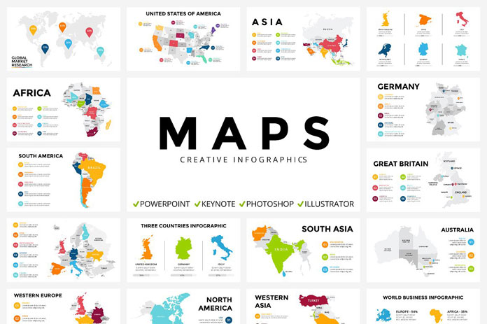
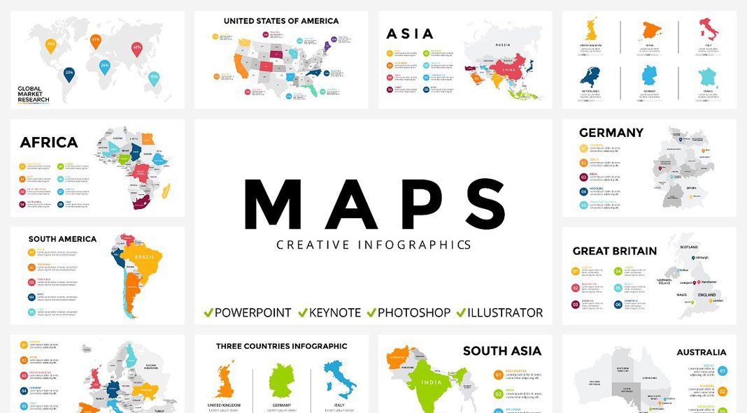
Check out this well-designed collection of fully editable infographic maps.
Maps of continents, countries, and federal states are often needed in infographics. Studio The Seamuss has created a well-designed collection of maps that can be used in a variety of projects. Each of the 19 graphics is included as PPT, PPTX, KEY, PSD, EPS, AI and JPEG files. Whether Powerpoint, Keynote, Photoshop or Illustrator, every graphic is easy to edit in the software of your choice. Only free fonts have been used. The collection will be updated frequently. When buying the set once, you will get any future update for free. For further information on this great offer, just have a look at the images below or click on the following link.
You can get the entire set for a very low budget on Creative Market.


Feel free to download the collection for little money on Creative Market.
Do not hesitate to find more graphic resources in our recommended Templates category.


